Filter By
205 Repositories
Python
Blender addons to make the bridge between Blender and geographic data
Blender GIS Blender minimal version : 2.8 Mac users warning : currently the addon does not work on Mac with Blender 2.80 to 2.82. Please do not report
 5.9k Jan 02, 2023
leafmap - A Python package for geospatial analysis and interactive mapping in a Jupyter environment.
A Python package for geospatial analysis and interactive mapping with minimal coding in a Jupyter environment
 1.4k Jan 02, 2023
Constraint-based geometry sketcher for blender
Geometry Sketcher Constraint-based sketcher addon for Blender that allows to create precise 2d shapes by defining a set of geometric constraints like
 1.7k Jan 02, 2023
Implementation of Trajectory classes and functions built on top of GeoPandas
MovingPandas MovingPandas implements a Trajectory class and corresponding methods based on GeoPandas. Visit movingpandas.org for details! You can run
 897 Jan 01, 2023

Raster-based Spatial Analysis for Python
🌍 xarray-spatial: Raster-Based Spatial Analysis in Python 📍 Fast, Accurate Python library for Raster Operations ⚡ Extensible with Numba ⏩ Scalable w
 649 Jan 01, 2023

A python package that extends Google Earth Engine.
A python package that extends Google Earth Engine GitHub: https://github.com/davemlz/eemont Documentation: https://eemont.readthedocs.io/ PyPI: https:
 307 Jan 01, 2023
Code and coordinates for Matt's 2021 xmas tree
xmastree2021 Code and coordinates for Matt's 2021 xmas tree This repository contains the code and coordinates used for Matt's 2021 Christmas tree, as
 117 Jan 01, 2023

Python interface to PROJ (cartographic projections and coordinate transformations library)
pyproj Python interface to PROJ (cartographic projections and coordinate transformations library). Documentation Stable: http://pyproj4.github.io/pypr
 832 Dec 31, 2022
Python interface to PROJ (cartographic projections and coordinate transformations library)
pyproj Python interface to PROJ (cartographic projections and coordinate transformations library). Documentation Stable: http://pyproj4.github.io/pypr
832 Dec 31, 2022

Solving the Traveling Salesman Problem using Self-Organizing Maps
Solving the Traveling Salesman Problem using Self-Organizing Maps This repository contains an implementation of a Self Organizing Map that can be used
 3.1k Dec 31, 2022
Cloud Optimized GeoTIFF creation and validation plugin for rasterio
rio-cogeo Cloud Optimized GeoTIFF (COG) creation and validation plugin for Rasterio. Documentation: https://cogeotiff.github.io/rio-cogeo/ Source Code
 216 Dec 31, 2022

A library to access OpenStreetMap related services
OSMPythonTools The python package OSMPythonTools provides easy access to OpenStreetMap (OSM) related services, among them an Overpass endpoint, Nomina
 342 Dec 31, 2022
Geocoding library for Python.
geopy geopy is a Python client for several popular geocoding web services. geopy makes it easy for Python developers to locate the coordinates of addr
 3.8k Dec 30, 2022
Documentation and samples for ArcGIS API for Python
ArcGIS API for Python ArcGIS API for Python is a Python library for working with maps and geospatial data, powered by web GIS. It provides simple and
 1.4k Dec 30, 2022
geemap - A Python package for interactive mapping with Google Earth Engine, ipyleaflet, and ipywidgets.
A Python package for interactive mapping with Google Earth Engine, ipyleaflet, and folium
2.4k Dec 30, 2022
Platform for building statistical models of cities and regions
UrbanSim UrbanSim is a platform for building statistical models of cities and regions. These models help forecast long-range patterns in real estate d
 419 Dec 30, 2022

Automated download of LANDSAT data from USGS website
LANDSAT-Download It seems USGS has changed the structure of its data, and so far, I have not been able to find the direct links to the products? Help
 197 Dec 30, 2022
Client library for interfacing with USGS datasets
USGS API USGS is a python module for interfacing with the US Geological Survey's API. It provides submodules to interact with various endpoints, and c
 104 Dec 30, 2022
ArcGIS Python Toolbox for WhiteboxTools
WhiteboxTools-ArcGIS ArcGIS Python Toolbox for WhiteboxTools. This repository is related to the ArcGIS Python Toolbox for WhiteboxTools, which is an A
190 Dec 30, 2022

Water Detect Algorithm
WaterDetect Synopsis WaterDetect is an end-to-end algorithm to generate open water cover mask, specially conceived for L2A Sentinel 2 imagery from MAJ
 142 Dec 30, 2022
EOReader is a multi-satellite reader allowing you to open optical and SAR data.
Remote-sensing opensource python library reading optical and SAR sensors, loading and stacking bands, clouds, DEM and index.
 152 Dec 30, 2022
A multi-page streamlit app for the geospatial community.
A multi-page streamlit app for the geospatial community.
522 Dec 30, 2022
This GUI app was created to show the detailed information about the weather in any city selected by user
WeatherApp Content Brief description Tools Features Hotkeys How it works Screenshots Ways to improve the project Installation Brief description This G
 5 Dec 30, 2022

Streamlit Component for rendering Folium maps
streamlit-folium This Streamlit Component is a work-in-progress to determine what functionality is desirable for a Folium and Streamlit integration. C
 224 Dec 30, 2022
pure-Python (Numpy optional) 3D coordinate conversions for geospace ecef enu eci
Python 3-D coordinate conversions Pure Python (no prerequistes beyond Python itself) 3-D geographic coordinate conversions and geodesy. API similar to
 292 Dec 29, 2022
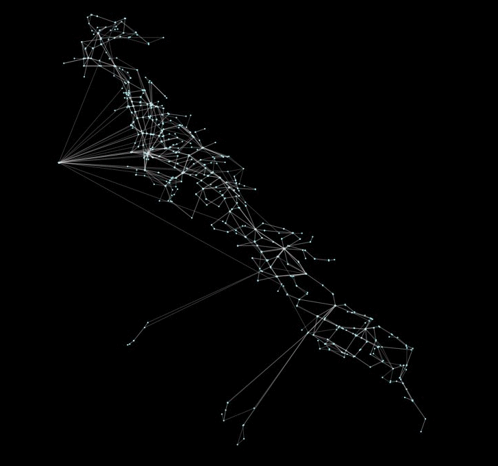
peartree: A library for converting transit data into a directed graph for sketch network analysis.
peartree 🍐 🌳 peartree is a library for converting GTFS feed schedules into a representative directed network graph. The tool uses Partridge to conve
 183 Dec 29, 2022
pure-Python (Numpy optional) 3D coordinate conversions for geospace ecef enu eci
Python 3-D coordinate conversions Pure Python (no prerequistes beyond Python itself) 3-D geographic coordinate conversions and geodesy. API similar to
292 Dec 29, 2022
scalable analysis of images and time series
thunder scalable analysis of image and time series analysis in python Thunder is an ecosystem of tools for the analysis of image and time series data
 813 Dec 29, 2022